Billion-dollar hurricanes and severe storms may be increasing in the U.S., but now advancing technology tools like GIS are helping the nonprofits that serve survivors of these storms do it better than ever before. For young professionals, serving as a GIS disaster response volunteer with Team Rubicon’s GIS cadre is a chance to serve humanity while also advancing their skills: a total win-win.
GIS Disaster Response Volunteers Get Firsthand Perspective
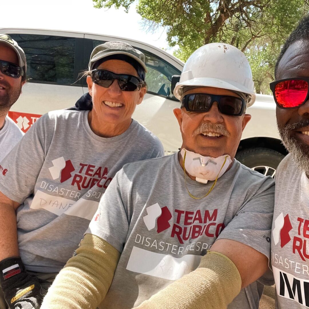
At Team Rubicon, Greyshirts like Jay Reddi, a GIS consultant, not only work in the field helping people who have survived a disaster, but also apply their knowledge and experience with GIS behind the scenes to help the veteran-led disaster response nonprofit serve more people and respond to more disasters.

It’s a plum volunteer opportunity for any young professional looking to expand their portfolio, Reddi says. Greyshirts in Team Rubicon’s GIS cadre get the chance to do much more than just network and shake hands: They get the opportunity to actually build something and put it into use, and then demonstrate that they did something that delivered some value.
“Team Rubicon actually gives people practical experience,” says Reddi. “So, when you build a lot of these maps, solutions, or whatever it is on the GIS side, people are actually going to use them.”
A Day in the Life of a GIS Disaster Response Volunteer
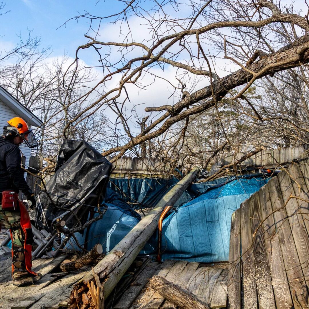
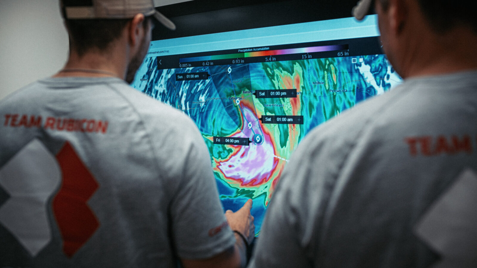
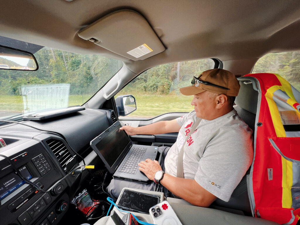
What, exactly, might a day volunteering with Team Rubicon look like for a GIS young professional? According to Senior Associate for Operations Support and Planning, Francesca Williams, a GIS disaster response volunteer might have the opportunity to build maps of disasters; build dashboards and operational analysis about Team Rubicon’s responses to disasters; and potentially even build applications that integrate those dashboards and maps. Sometimes they also tell stories, via ArcGIS StoryMaps, about disasters and the work Team Rubicon’s Greyshirts have done.
Want to become a GIS disaster response volunteer and put your knowledge and skills to use for good? Here’s what Team Rubicon needs in terms of GIS-skilled Greyshirts, and how to join the GIS cadre.
GIS Cadre On Call Team Requirements
Be willing to commit up to 10 hours per month to Team Rubicon’s geospatial mission.
Mid-level GIS skills needed:
- Proficient in ArcGIS Online for creating and sharing web maps, basic ArcGIS Dashboards, ArcGIS Instant Apps, and ArcGIS StoryMaps
- Skilled in data management—importing, cleaning, and organizing spatial datasets from multiple sources
- Familiarity with Field Applications (ArcGIS Survey123, ArcGIS Field Maps)
- Capable of performing basic spatial analysis
GIS Cadre Specialist Team Requirements
Be willing to commit a minimum of 10 hours per week to Team Rubicon’s geospatial mission.
Greyshirts should also have an understanding or experience with disaster management, emergency management, or tactical operations; demonstrate the ability to work independently and provide GIS leadership; and have a willingness to create and conduct trainings, and to mentor and promote outreach and learning within the organization and close partners.
Advanced GIS skills needed:
- Expertise in ArcGIS Pro and ArcGIS Online administration
- Proficient in data management within ArcGIS Online
- Proficient with ArcGIS Experience Builder, ArcGIS StoryMaps, ArcGIS Dashboards, and ArcGIS Hub sites
- Experience configuring and deploying Field Applications
- Knowledge and experience with Python, Arcade, and JavaScript
- Skilled in map production and spatial analysis
How to Join Team Rubicon’s GIS Cadre
Registered Greyshirts should grab their TR Id number, then submit this Survey123 form to indicate their interest in joining the GIS cadre.