With hurricane seasons becoming increasingly unpredictable and intense, staying informed and prepared is crucial for the safety of you and your loved ones. Luckily, modern technology offers a variety of hurricane-tracking and awareness apps that can keep you updated with real-time information, forecasts, and safety tips. Here are the hurricane-tracking tools and apps that should be on your radar this hurricane season.
The Hurricane Tracking Tools Used by Pros
Best Free Hurricane Tracking Tool: The National Hurricane Center
The NHC website—www.nhc.noaa.gov—is the ultimate authority when it comes to tracking and forecasting hurricanes. Their website offers real-time updates, hurricane tracking maps, and detailed information on current and potential hurricanes.
“We use that website a lot to keep track of formation of hurricanes and where they’re at. They’ll post a lot of information about windspeed probabilities, arrival time of winds, the wind history—like the cones and the warning tones. Hurricane warnings and watches, storm surge, and more all come from the National Hurricane Center,” says Alex MacInnis, who tracks disasters before and after they happen and helps plan Team Rubicon’s responses.

Other Greyshirts and Team Rubicon disaster response staffers agree.
“Honestly, the National Hurricane Center really is the best in the biz,” says Team Rubicon’s Deputy Director for Operations in the South Branch, Drew Hannah. “Most of the [other] apps and channels are just relying on the NHC’s data and interpreting their reports.”
www.nhc.noaa.gov; www.facebook.com/NWSNHC; @NWSNHC on Twitter
Another Excellent Free Hurricane Tracking Tool: The National Weather Service
Second to using the National Hurricane Center website to track formation of hurricanes, where they are located, windspeed, arrival predictions, storm surge, and more is the National Weather Service website—www.weather.gov. Users can even follow their local NWS by simply plugging a zip code in on the homepage.
Because the NWS makes their data public, disaster response organizations like Team Rubicon also layer it over their own maps for hurricane tracking and disaster response planning.
Following the guidance and keeping abreast of watches and warnings from the local National Weather Service office is a great, free resource for anyone in the path of a potential disaster.
www.weather.gov; www.facebook.com/nws; www.youtube.com/usweathergov; @NWS on Twitter
A Subscription-based Service for Professional Hurricane Trackers: Baron Threat Net
Baron invented the street-level storm tracking that’s familiar to anyone tracking a storm on TV today: In fact, the National Weather Service radar network relies on Baron Weather and the company’s technology. In 2017, they brought that tech and those services to the emergency management community with Baron Threat Net, a subscription-based web and tablet weather briefing site and mobile app.
“Their information is extremely accurate, and it’s very fast and timely, and we can make operational decisions based on the information they give us,” says MacInnis. Baron Threat Net is chuck full of proprietary maps that allows first responders to see where a storm has touched down and where it carved out damage.
Built for professional emergency managers and the media, Baron Threat Net is a subscription-based service.
The Best Hurricane Tracking Apps
NOAA Hurricane Tracking App: Clime
Formerly known as NOAA Radar Pro, Clime is the official app from the National Oceanic and Atmospheric Administration (of which the National Hurricane Center is an offshoot). Clime offers up-to-date radar imagery, detailed weather maps, and real-time alerts for severe weather conditions, including hurricane tracking and forecasts, all of which can be tailored by location. As an app, Clime is especially good for hurricane tracking because it lets the user overlay rain, radar, or satellite images on top of the tracker, giving a detailed look at what’s happening in the storm.
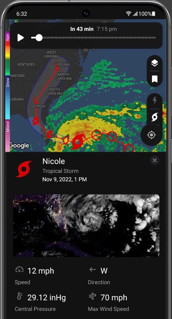
While the free version of the Clime app grants access to weather changes with real-time radar images, precipitation and temperature forecasts, customizable weather alerts, accurate weather maps, push notifications for severe weather, and severe-storm trackers. A pro subscription offers access to hurricane and lightning trackers, advanced precipitation forecasts, wildfire tracking, a 14-day forecast, and more.
“Clime: NOAA Weather Radar Live is probably the best app for hurricane tracking because it pulls data and overlays directly from NOAA, so you get the same functionality as you would via the NHC website, but in an app,” says Justin Lynch, who serves on Team Rubicon’s operational planning and support team.
Free for the basic version; $4.99/mo and up for the pro version via the Apple store and Google Play.
Emergency App, by the American Red Cross
In the summer of 2023, the American Red Cross brought together all of its previous emergency preparedness apps—including its hurricane app—together into one: Emergency. Today, the Emergency app includes a hurricane tracker, preparedness checklists, and safety tips to help anyone create a comprehensive emergency plan.
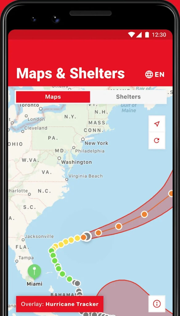
Emergency lets users customize 40 different weather alerts—in both Spanish and English—with fast notifications. It also features an interactive map that allows those in the path of a hurricane to find open Red Cross shelters nearby and is compatible with Apple Watch and Android Wearable devices.
Free via the Apple store and Google Play.
The FEMA App
The Federal Emergency Management Agency’s app provides crucial emergency information, including real-time hurricane alerts, safety tips, and even shelter locations. The FEMA app also features basic preparedness strategies and the ability to find out if your location is eligible for FEMA assistance. It even offers FEMA text messaging to find up to three emergency shelters or FEMA Disaster Recovery Centers nearby.
Free from the Apple app store or Google Play.
The My Hurricane Tracker & Alerts App
The ad-supports My Hurricane Tracker app provides comprehensive tools for tracking tornadoes, cyclones, tropical storms, and weather warnings and features interactive tracking maps for each hurricane, NOAA forecast maps and storm satellite imagery where available, and the ability to do a historical search of previous storms since 1851 in the Atlantic and 1949 in the Pacific. Users can also receive weather warnings from the National Weather Service and see an outlook for the next five days from the NOAA.
Free from Apple app store or Google Play.
The Tropical Hurricane Tracker
The Tropical Hurricane Tracker app provides up-to-date information about hurricanes, tropical storms, and disturbances in the Atlantic, Central Pacific, and Eastern Pacific basins. Features include hurricane tracking maps by region, NOAA forecasts, push notifications about severe weather and hurricane changes, historical storm tracks, info on the Saffir-Simpson Scale, as well as safety and preparedness information.
Free at Google Play.
Hurricane Tracking Goes Social
Some of the best storm- and hurricane-tracking comes via social media. Facebook, Instagram, Twitter, and TikTok can be excellent resources for finding out what people in your community are seeing during and after a hurricane.
Twitter is great for hurricane tracking with dozens of handles to follow—including @fema, @NWSNHC, @NOAA_HurrHunter, @NOAA, and @NWS—but getting alerts about a pending hurricane in your feed isn’t the only thing social media is good for; disaster responders frequently turn to Twitter for damage reports, too. It’s here that they can often see posts on where a hurricane made landfall and what kind of destruction left in its wake.
MacInnis also suggests plugging the letters “WX” and your area into a Twitter search—for example, “WX,” “WXHouston,” or “WX Houston”—which pulls both current and incoming weather and recent damage reports.
And, in a surprising use of social media for hurricane recovery, Team Rubicon also often turns to Snapchat after a disaster. “We use the ‘snap map’ to see if people have uploaded photos and are asking for help,” says MacInnis.
While these resources and apps can significantly enhance hurricane preparedness and safety and offer numerous means of hurricane tracking, the one thing everyone in the path of a hurricane should always remember is to follow official instructions from local authorities and evacuate when necessary.
Read Also:
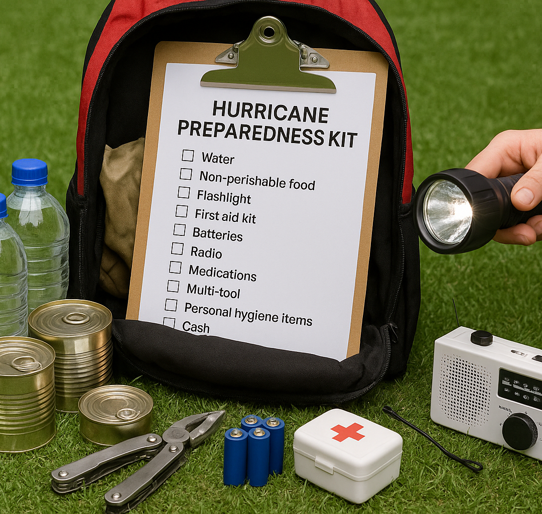
How To Prepare for a Hurricane
Seven tried-and-true tips for preparing for any category of tropical storm.
No-Cost and Low-Cost Ways to Prepare for a Hurricane
Free to cheap, these budget-friendly emergency preparedness tips can help anyone be better ready for a disaster or storm.
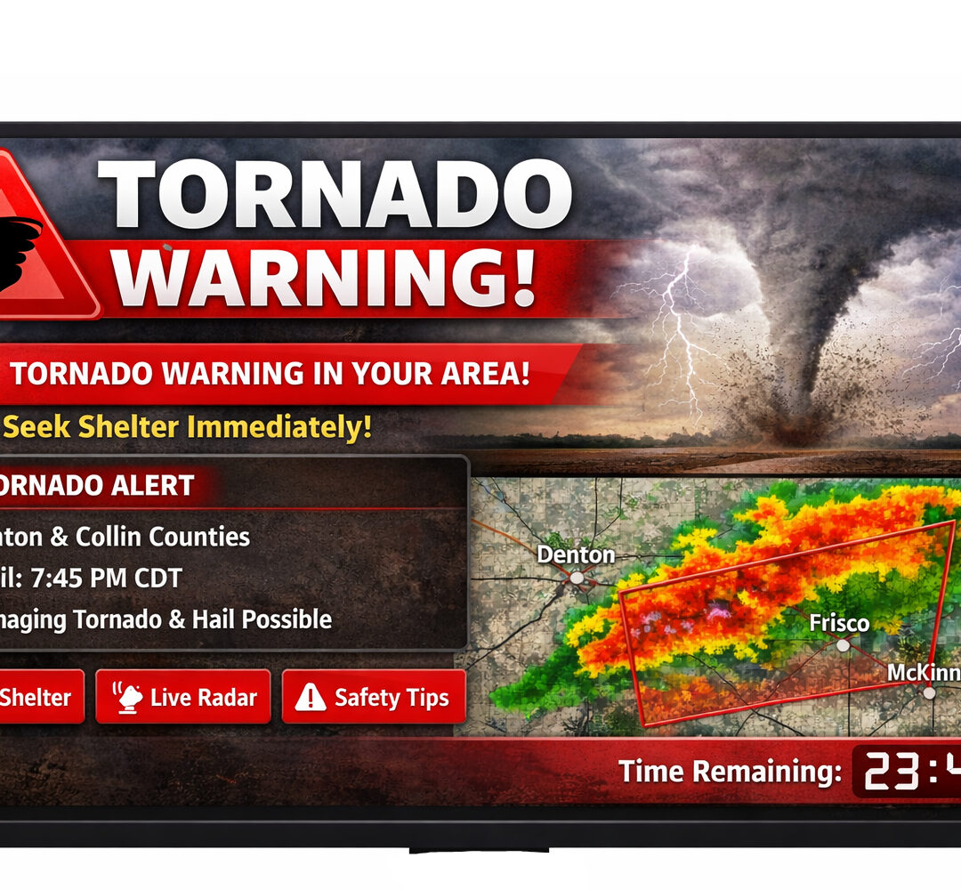
Tornado Alert Apps Offer Instant Warnings Anywhere, Anytime
Easy-to-use emergency alerting systems can deliver warnings to those in a twister’s path faster and with greater localized precision.
Top Emergency Preparedness Apps, Gadgets, and Tools for Any Disaster
From thrift-store finds to apps to top-of-the-line satellite phones, these devices can help make it easier to face any disaster.